


Geological, Hydrogeological and Hydrological Surveys
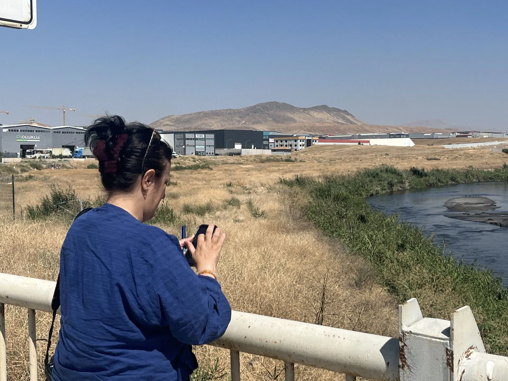
We investigate the geology, groundwater system and surface water regime of the project site to provide data for design, environmental assessment and permitting.
Lithology, structural geology, aquifer properties, groundwater levels and flow direction, the drainage network, catchment characteristics, and flood and low-flow conditions are assessed according to project needs. Field measurements, existing data, laboratory results and appropriate modeling methods are combined into technical reports that support engineering and environmental decisions.
Scope of service
- Investigation of lithology, structural geology and aquifer properties
- Determination of groundwater levels and flow direction
- Drainage network, catchment, flood and low-flow conditions
- Technical reporting based on field measurements and modeling
Related topics
- hydrogeological survey
- geological survey
- hydrological survey
- aquifer
Request a quote for Geological and Hydrogeological Surveys
Share your project details and we will define the scope and schedule together.